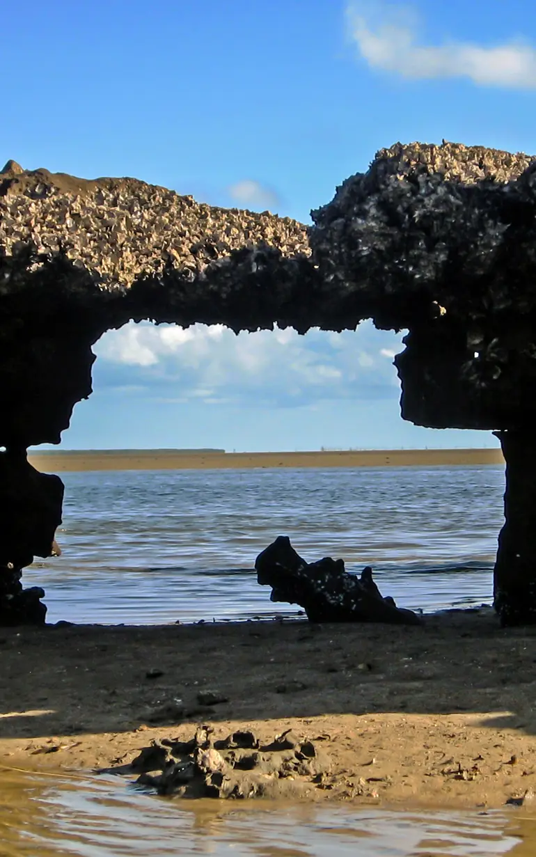
Carving a new path to the sea
Using detailed coastal analysis to determine riverbank and coastal erosion
Protected from the Indian Ocean by the Macaneta Peninsula, the Lower Incomati Estuary in Mozambique is home to fishing and agriculture industries. Riverbank erosion in recent years has caused concern that the river could break through a narrow isthmus (a narrow strip of land that connects two larger areas of land), threatening these industries. DHI's detailed coastal analysis provided in-depth information on the state of the erosion. This enabled the Mozambican government to carefully weigh their options and decide whether protection measures were needed.
Challenge
Separated from the Indian Ocean by the Macaneta Peninsula, the Lower Incomati Estuary in southern Mozambique supports subsistence and commercial fishing and farming industries. Over the years, the local population has observed the rapid erosion of the riverbank in the valley.
This has led to fears that the Incomati River could permanently break through a narrow, 60 m wide isthmus that connects the Macaneta Peninsula to the mainland. If that were to occur, the main outflow of the river would shift upstream by 10 km. This could have severe environmental and socioeconomic consequences for the area. If the river finds a shorter path out to sea, salt intrusion will affect the river further upstream, impacting both the farming and fishing industries. To determine the appropriate course of action, the Government of Mozambique needed to know the extent and rate of the erosion and the factors causing the observed erosion.
Solution
DHI worked with NIRAS to perform a detailed coastal erosion study of the Macaneta Peninsula. A site visit was performed to examine the current state of erosion, analyse the state of the beach and local geology, and collect sediment samples. Next, we gathered information from the local population to get a better idea of how the site looked in the past, as well as the frequency of overwash events – when high sea levels and large waves caused waves to wash over the isthmus and into the river.
Comparison of aerial images over the past 25 years revealed that severe erosion has occurred along certain stretches of the riverbank. This is typical for meandering (bending) rivers like the Incomati.
A state of equilibrium
Despite the riverbank erosion, the isthmus has maintained its shape over the last 25 years.
Using MIKE 21 Spectral Waves (SW), we assessed nearshore wave conditions along the Macaneta Peninsula. Using LITPACK, we analysed sediment samples to calculate littoral drift and evaluated the direction of the sediment transport. We also determined the equilibrium orientation of the coast – when the beach faces straight towards the mean wave direction, resulting in zero net yearly sediment transport.
Based on our analysis, the dynamics of the river and the sea seem to have reached a balanced state that maintains the isthmus. This means that the river is unlikely to break through the isthmus. If a breakthrough were to occur, it would likely be due to an extreme wave and water level event, such as a storm with surges and large waves. With this information, Mozambique now has a better understanding of the:
- general processes acting on the Macaneta coast
- processes that could cause the Incomati River to break through the isthmus
- possible consequences of such a breakthrough
This will enable them to weigh and prioritise protection efforts in the future.
Results
- Improved clarity on the state of erosion
- Clearer understanding of the river and coastal processes driving the erosion
- Enabled the Mozambican government to determine the necessity of erosion protection measures
Client:
NIRAS, with the support of Danish International Development Agency (DANIDA)
Location:
Lower Incomati Estuary, Macaneta Peninsula,
Mozambique, Africa
Related SDG(s):
SDG 13: Take urgent action to combat climate change and its impacts
SDG 14: Conserve and sustainably use the oceans, seas and marine resources for sustainable development
Technology:
About our client
Owned by a foundation and a percentage of its employees, NIRAS is an international multi-disciplinary consultancy firm with Nordic roots.
Since 1912, NIRAS has been designing, implementing and managing projects and investments that create opportunities for people to improve their lives and live in safe, equal, well-governed and climate-resilient societies.
You may also like
How can we help?
With our global network of offices, we make sure you get the right answers to your local needs. Tell us about your water challenges and we will get back to you.
