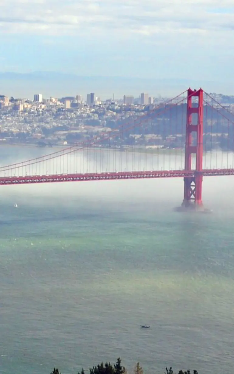
Protecting coastal communities around San Francisco Bay
Using 2D modelling to assess flood risks and improve San Francisco Bay’s floodplain maps
Flooding can significantly impact coastal homes and businesses. However, information on flood-prone areas around San Francisco Bay was outdated or lacking. The United States Federal Emergency Management Agency (FEMA) needed to assess flood risks for the entire Bay Area. DHI's coastal models provided reliable data for flood risk analysis, helping local governments improve their flood management and equipping local residents with the information needed to better protect themselves from floods.
Challenge
Located on the West Coast of the United States, the shores of the San Francisco Bay are home to more than seven million people. With billions of dollars of infrastructure located adjacent to the hundreds of miles of shoreline, an accurate assessment of the flood risk is vital. Extreme water levels caused by storms and other factors can have serious implications for the people and businesses that call the Bay Area home.
The Bay Area hasn't had a comprehensive study since the early 1980s. To better understand coastal flood hazards for the entire San Francisco Bay, FEMA requested a regional Flood Insurance Study (FIS) to assess flood risks in the area.
Solution
Using MIKE 21, DHI developed a system of regional scale coastal models in order to predict the following for the entire San Francisco Bay:
- Extreme tide (astronomical tide plus storm surge)
- Swell entering from the Pacific Ocean
- Sea waves generated from local winds in the Bay
Normally, we would apply a highly detailed study to a focused study area. However, this project required the same level of detail for the entire 250 mile-long Bay Area shoreline. To allow us to identify the storms in advance, we operated the models in hindcast mode to produce continuous results of water levels and waves covering 31 years in the North and Central Bay and 54 years in the South Bay.
Following this, we used the regional model results to establish maximum 1% (100-year) and 0.2% (500-year) Still Water Levels (SWLs) – the maximum water level that will occur – and wave height conditions. The DHI team then calibrated and validated the models using National Oceanic and Atmospheric Administration (NOAA) tide gage measurements from around the bay as well as various wave measurements from inside and outside the bay.
Results
The results of the regional modelling study were key components for the development of FIS floodplain maps for the entire Bay Area. FEMA and its study contractors are using the regional model results as boundary conditions for further detailed coastal hazard analysis. This will also be the basis for most future studies. The detailed coastal hazard analysis could have far reaching implications for the businesses and people who live and work around the Bay. The results could lead to a modification in flood risk designations for coastal communities, which could in turn lead to changes in flood insurance rates, land-use planning around the Bay and floodplain management practices.
By having a clearer idea of where flooding is most likely to occur, communities surrounding the San Francisco Bay can take the appropriate measures to ensure their safety.
Client:
U.S. Federal Emergency Management Agency (FEMA), Region IX
Location:
USA
Related SDG(s):
SDG 13: Take urgent action to combat climate change and its impacts
Technology:
About our client
U.S. Federal Emergency Management Agency (FEMA), Region IX
You may also like
How can we help?
With our global network of offices, we make sure you get the right answers to your local needs. Tell us about your water challenges and we will get back to you.
