Transforming mining pits into a lake district
Mine reclamation for pit lakes
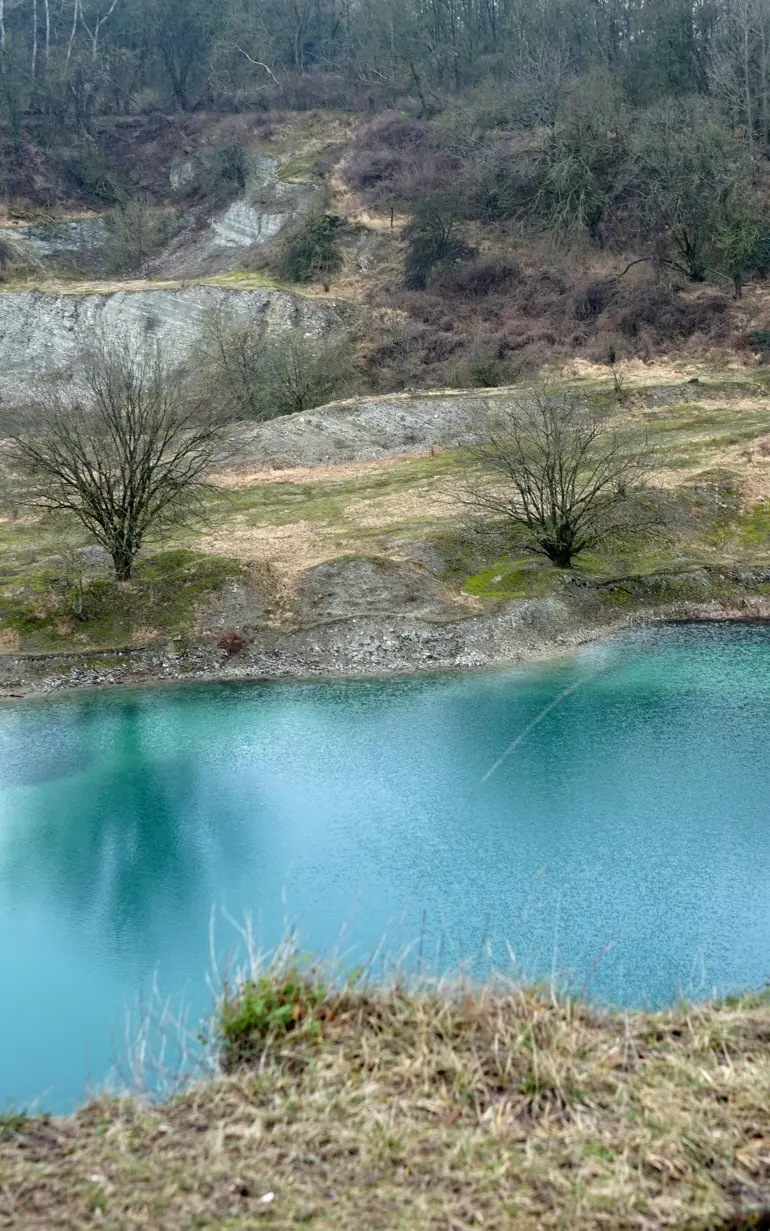
Rehabilitating old mining areas can be an immensely difficult challenge and few succeed at it. However, with the right strategies and tools, abandoned mining pits can be turned from lifeless landscapes into thriving man-made lake districts. This is what has been done in Germany, where DHI provided accurate analyses and appropriate strategies for creating a new pit lake, benefitting the surrounding landscape, vegetation and wildlife.
Challenge
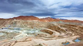
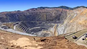
The project site was located within enormous industrial mining zones, where lignite has been mined and used for electricity generation. Although mining activities were still ongoing and three large power stations continued to produce electricity, much of the industrial mining activities were planned to be phased out by 2015.
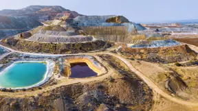
A number of old pits left behind by the mining process had already been transformed into a new landscape, creating a massive new lake district never before seen in this region. In connection with the development of a new pit lake with a surface area of approximately 19 km², our client contacted us to optimise the mine closure plan through accelerated flooding of the pit lakes.
Reducing the flooding period
The challenge was to provide the right strategy for filling up the lake in a reasonably short period of time. This had to be done while maintaining acceptable environmental flows within the river system used to source the additional surface water required. We concluded that the time required to complete the filling of pit lake could be reduced significantly by using a strategy that included additional surface water inflow.
The results showed that it will take approximately five years to fill up the lake to a level of +63.5 m Above Mean Sea Level (AMSL) by using additional surface water inflow from river Spree. This means that the lake filling will be finished by around 2023. This period is more than 10 years shorter than the flooding period without additional surface water inflow and about seven years shorter than previous mine closure plans estimated.
Solution
Precise, integrated and reliable modelling proves essential
In order to achieve these results, it was essential to use integrated groundwater and surface water modelling. We used the following modelling components:
- a 3D FEFLOW groundwater model
- a MIKE HYDRO River surface water model to describe different options for the outflow to river Spree
- a WBalMo water and allocation model to identify long-term and optimal water allocations
Using FEFLOW and MIKE HYDRO River, we were able to describe the water level development of the lake. This was done with detailed information about the inflow into the lake (groundwater inflow, surface water inflow, as well as rainfall and evaporation at the surface).
In addition to the inflow into the lake, it was important to obtain detailed information about the long-term water needs as well as the water availability of the Spree river. We used a water management and allocation tool for the long-term management analyses of the pit lake. In addition, we also used MIKE Hydro River for the 1D hydrodynamic analysis of maximum flows and the planned diversions in the Spree as well as its tributaries.
Client:
Location:
Germany
Related SDG(s):
SDG 6: Ensure availability and sustainable management of water and sanitation for all
SDG 9: Build resilient infrastructure, promote inclusive and sustainable industrialization and foster innovation
Technology:
Results
- Reliable prediction of the river flows that could be sustainably diverted into the pit
- Reduction of pit flooding time frame by seven years from the original mine closure plan
- Delivered a sustainable and reliable strategy for rapid filling of the mine pits
About our client
A leading European energy company providing electricity and heat.
You may also like
How can we help?
With our global network of offices, we make sure you get the right answers to your local needs. Tell us about your water challenges and we will get back to you.


