
MIKE+ 2D Overland
Get the full picture on flooding
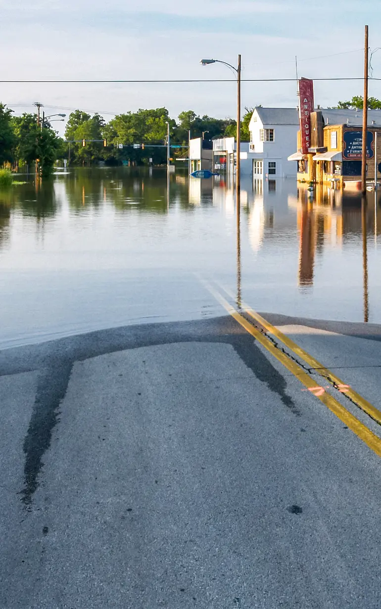
MIKE+ 2D Overland provides a comprehensive suite of tools that empower urban planners, engineers, and environmental managers to predict the impacts of flood events, identify risks, and develop effective mitigation strategies.
This software integrates seamlessly into urban planning and emergency response frameworks, providing a robust solution to enhance climate adaptation. Enhance emergency response readiness while ensuring communities are prepared to tackle environmental challenges.
Other MIKE+ products
Interested in MIKE+ 2D Overland?
Contact usHow does MIKE+ 2D Overland help?
No in-house modellers?
Get our expert modellers on board for your consulting projects either as a partner, to provide extended user support, or for model and project reviews. Submit an inquiry
Areas of application

Climate change resilience and impact
Model the impact of extreme weather events on overland flow to inform adaptation and mitigation strategies.

Dam break impact assessments
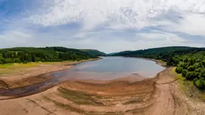
Simulate overland flow dynamics resulting from dam failures to enhance emergency planning and response.

Flood risk assessment and management
Assess and manage flood risks by simulating surface water flow patterns and the urban and rural impact.

Urban drainage system design
Design and optimise urban drainage systems to effectively manage stormwater and reduce flood risks.

Water quality evaluations
Evaluate the transport and dispersion of pollutants in overland flow to manage water quality.

What's new in MIKE+ 2D Overland - MIKE 2026
Stay up to date with the latest features and updates for MIKE+ 2D Overland
Additional capabilities & unique features
Explore our latest support resources, including guides, videos, and FAQs in our Knowledge Base.
Save time processing raw flood data using a new Flood Polygons Tool
The new Flood Polygons tool empowers you to transform cumbersome flood result files into a user-friendly map comprised of categorised polygons. This provides a clearer and more intuitive representation of areas with similar flood outcomes. Furthermore, you can enhance the precision of your flood map through the application of practical filters, allowing you to eliminate or merge small polygons.
New Cross-Section Tool for advanced 2D visualisation
Users can now create vertical cross-section views of 2D data within the Overland domain or other DEM. This helps ensure a more accurate representation of finer-scale topographical features such as dikes. You can also gain enhanced insights into topographical changes by visualising elevation alterations vertically which offers a clearer perspective than the standard horizontal map view.
Perform a system-wide water quality evaluation
Explore water quality processes and treatment options more holistically with the integrated and flexible framework of MIKE ECO Lab.
MIKE+ users gain the ability to:
- Investigate water quality throughout collection system networks, rivers, coastal areas, lakes, and other surface water bodies
- Access results across MIKE1D Pipeflow, MIKE1D River, and MIKE 21 FM
- Customise existing water quality templates or develop new ones tailored to specific needs
Maximise speed, precision, and scale with High-Performance Computing (HPC) and parallelisation
MIKE+ 2D Overland leverages advanced parallelisation techniques to harness the power of multiple cores and GPUs, delivering exceptional performance. Working with large models? Every MIKE+ license and subscription now supports powerful Linux clusters equipped with hundreds of CPUs.
Let's get started
Learn how your project can benefit from this integrated urban water modelling platform.
Related technologies
MIKE+
Manage water systems with an integrated urban, river, and flood modelling platform.
MIKE+ Collection Systems
Accurately represent flow conditions and efficiently manage stormwater and wastewater.
MIKE+ Model Manager
Manage, configure and present the results of your MIKE+ models.
You may also like
How can we help?
With our global network of offices, we make sure you get the right answers to your local needs. Tell us about your water challenges and we will get back to you.


